
UK Mountains
Summit forecasts, walking routes, cloud inversion odds and dark sky scores for every peak in England, Wales, Scotland and Northern Ireland.
Highest first · 5,912 summits
UK mountains 388–375 m
-
5051
388 m1,273 ft
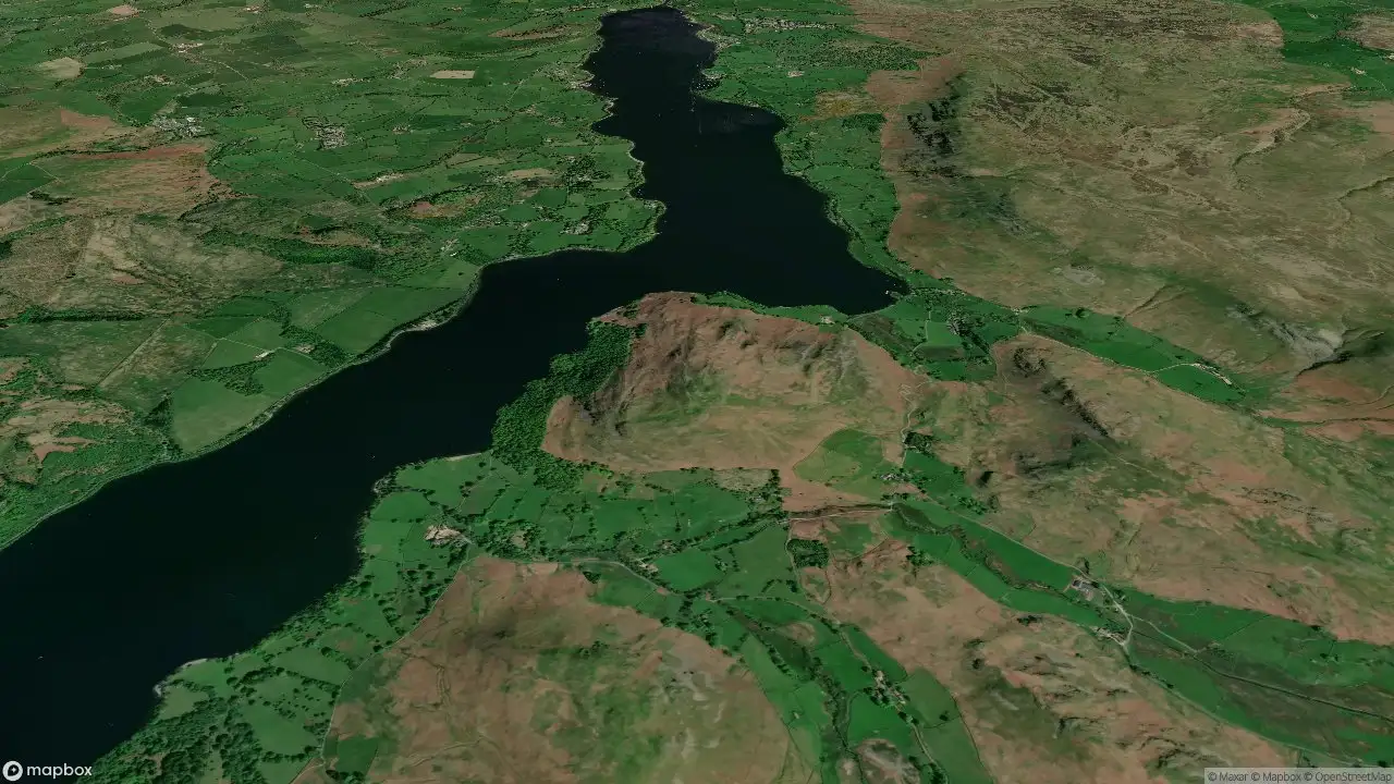
Hallin Fell
Lake District E 10° / 5°Moderate drizzle
InvCloud inversion chance —
DarkDark sky score —
-
5052
388 m1,273 ft
Pinhaw Beacon
Lancashire, Cheshire and S Pennines -
5053
388 m1,273 ft
Temple Hill
Firth of Forth to the River Tweed
10° / 5°Moderate drizzle
InvCloud inversion chance —
DarkDark sky score —
-
5054
388 m1,273 ft
Wolfscote Hill
Lancashire, Cheshire and S Pennines -
5055
387 m1,270 ft
Benniguinea
Carrick and Galloway
11° / 7°Moderate drizzle
InvCloud inversion chance —
DarkDark sky score —
-
5056
387 m1,270 ft
Creag nam Fiadh
Altnaharra to Dornoch 8° / 2°Overcast
InvCloud inversion chance —
DarkDark sky score —
-
5057
387 m1,270 ft
Lawglass
The Glenkens to Annandale
11° / 5°Moderate drizzle
InvCloud inversion chance —
DarkDark sky score —
-
5058
385 m1,263 ft
Bryn Arw
Llandovery to Monmouth
10° / 2°Overcast
InvCloud inversion chance —
DarkDark sky score —
-
5059
385 m1,263 ft
Gun
Lancashire, Cheshire and S Pennines
9° / 5°Light drizzle
InvCloud inversion chance —
DarkDark sky score —
-
5060
385 m1,263 ft
Kennapole Hill
Cairngorms 10° / 6°Slight rain
InvCloud inversion chance —
DarkDark sky score —
-
5061
385 m1,263 ft
Wills Neck
South Central England 11° / 4°Partly cloudy
InvCloud inversion chance —
DarkDark sky score —
-
5062
384 m1,260 ft
Biod Mor
Minginish and the Cuillin Hills
9° / 5°Slight rain showers
InvCloud inversion chance —
DarkDark sky score —
-
5063
384 m1,260 ft
Heabhal
Barra to Barra Head
9° / 7°Moderate drizzle
InvCloud inversion chance —
DarkDark sky score —
-
5064
384 m1,260 ft
Heileasbhal Mor
Harris and Nearby Islands
9° / 6°Moderate drizzle
InvCloud inversion chance —
DarkDark sky score —
-
5065
384 m1,260 ft
Mullach an Eilein
St Kilda
10° / 7°Light drizzle
InvCloud inversion chance —
DarkDark sky score —
-
5066
384 m1,260 ft
The Slate
Knapdale and Kintyre
10° / 7°Light drizzle
InvCloud inversion chance —
DarkDark sky score —
-
5067
383 m1,257 ft
Beinn Ceannabeinne
Durness to Loch Shin
7° / 4°Moderate drizzle
InvCloud inversion chance —
DarkDark sky score —
-
5068
383 m1,257 ft
Craig of Knockgray
The Glenkens to Annandale
9° / 4°Moderate drizzle
InvCloud inversion chance —
DarkDark sky score —
-
5069
383 m1,257 ft
Deadh Choimhead
Oban to Loch Fyne
8° / 3°Moderate drizzle
InvCloud inversion chance —
DarkDark sky score —
-
5070
383 m1,257 ft
Nettle Hill
North Pennines -
5071
383 m1,257 ft
Pared y Cefn-hir
Dolgellau to Machynlleth
10° / 5°Light drizzle
InvCloud inversion chance —
DarkDark sky score —
-
5072
383 m1,257 ft
Pibble Hill
Carrick and Galloway
9° / 4°Moderate drizzle
InvCloud inversion chance —
DarkDark sky score —
-
5073
383 m1,257 ft
Shaw Hill
Carrick and Galloway
11° / 5°Moderate drizzle
InvCloud inversion chance —
DarkDark sky score —
-
5074
383 m1,257 ft
Sithean Mor
Loch Torridon to Loch Maree -
5075
382 m1,253 ft
Big Hill of Glenmount
Carrick and Galloway
12° / 5°Moderate drizzle
InvCloud inversion chance —
DarkDark sky score —
-
5076
382 m1,253 ft
Cefn Eglwysilan
Neath to Chepstow
12° / 7°Light drizzle
InvCloud inversion chance —
DarkDark sky score —
-
5077
382 m1,253 ft
Moel y Dyniewyd
Snowdonia
11° / 7°Dense drizzle
InvCloud inversion chance —
DarkDark sky score —
-
5078
382 m1,253 ft
Moel y Gwelltyn
Bala to Welshpool -
5079
382 m1,253 ft
Monkham Hill
South Central England
13° / 7°Light drizzle
InvCloud inversion chance —
DarkDark sky score —
-
5080
381 m1,250 ft
Hill of Tillymorgan
Fraserburgh to the Dee Valley
10° / 5°Overcast
InvCloud inversion chance —
DarkDark sky score —
-
5081
381 m1,250 ft
Mynydd y Lan
Neath to Chepstow
9° / 3°Overcast
InvCloud inversion chance —
DarkDark sky score —
-
5082
380 m1,247 ft
Cnoc an t-Sabhail
Loch Vaich to Moray Firth
10° / 5°Light drizzle
InvCloud inversion chance —
DarkDark sky score —
-
5083
380 m1,247 ft
Cruach na Seilcheig
Oban to Loch Fyne
8° / 4°Moderate drizzle
InvCloud inversion chance —
DarkDark sky score —
-
5084
380 m1,247 ft
Foel Cae'rberllan
Mid Wales
9° / 5°Moderate drizzle
InvCloud inversion chance —
DarkDark sky score —
-
5085
379 m1,243 ft
Beinn Chreagach
Mull and Nearby Islands
9° / 5°Moderate drizzle
InvCloud inversion chance —
DarkDark sky score —
-
5086
379 m1,243 ft
Cairn-mon-earn
Braemar to Montrose
9° / 2°Light drizzle
InvCloud inversion chance —
DarkDark sky score —
-
5087
379 m1,243 ft
Cruach Maolachy
Oban to Loch Fyne
8° / 3°Moderate drizzle
InvCloud inversion chance —
DarkDark sky score —
-
5088
379 m1,243 ft
Dumglow
Central Scotland from Dumbarton to Montrose
9° / 6°Moderate drizzle
InvCloud inversion chance —
DarkDark sky score —
-
5089
379 m1,243 ft
Walla Crag
Lake District C&W
10° / 6°Dense drizzle
InvCloud inversion chance —
DarkDark sky score —
-
5090
378 m1,240 ft
Cearnabhal
Lewis and Nearby Islands
8° / 4°Light drizzle
InvCloud inversion chance —
DarkDark sky score —
-
5091
378 m1,240 ft
Cnoc an Leathaid Bhig
Lochinver to Ullapool
7° / 3°Light drizzle
InvCloud inversion chance —
DarkDark sky score —
-
5092
378 m1,240 ft
Fron Fawr
Llandudno to Wrexham
14° / 8°Light drizzle
InvCloud inversion chance —
DarkDark sky score —
-
5093
377 m1,237 ft
King's Seat
Central Scotland from Dumbarton to Montrose
8° / 2°Overcast
InvCloud inversion chance —
DarkDark sky score —
-
5094
377 m1,237 ft
Monluth Hill
Braemar to Montrose
8° / 3°Overcast
InvCloud inversion chance —
DarkDark sky score —
-
5095
377 m1,237 ft
The Lawley
Shropshire
10° / 4°Overcast
InvCloud inversion chance —
DarkDark sky score —
-
5096
376 m1,234 ft
Cruachan Min
Mull and Nearby Islands
9° / 7°Moderate drizzle
InvCloud inversion chance —
DarkDark sky score —
-
5097
376 m1,234 ft
Drochil Hill
Firth of Forth to the River Tweed
9° / 5°Light drizzle
InvCloud inversion chance —
DarkDark sky score —
-
5098
376 m1,234 ft
Forside Hill
Ayr to the River Clyde
10° / 5°Light drizzle
InvCloud inversion chance —
DarkDark sky score —
-
5099
376 m1,234 ft
High Vinnalls
Welsh Borders S
13° / 7°Light drizzle
InvCloud inversion chance —
DarkDark sky score —
-
5100
375 m1,230 ft
Stickle Pike
Lake District S
11° / 8°Dense drizzle
InvCloud inversion chance —
DarkDark sky score —
- Excellent 70+
- Good 50+
- Fair 30+
- Poor
- Not scored today
How to read it
Summit weather, not valley weather
Every forecast here is for the summit's height. Air cools about 6.5 °C per 1,000 m and ridge wind is often double the valley's, so a 12° day in Llanberis can feel close to freezing on Yr Wyddfa.
Cloud inversion
The chance of standing above a sea of cloud at sunrise. Read more on cloud inversions.
Dark sky
0–100 from cloud, moonlight and light pollution. 70+ is a night worth staying up for. Grey tiles haven't been scored in the last 36 hours.
Highest mountain in each nation
| Nation | Mountain | Height |
|---|---|---|
| Scotland | Ben Nevis | 1,345 m · 4,413 ft |
| Wales | Yr Wyddfa (Snowdon) | 1,085 m · 3,560 ft |
| Ireland | Carrauntoohil | 1,039 m · 3,407 ft |
| England | Scafell Pike | 978 m · 3,209 ft |
| Northern Ireland | Slieve Donard | 850 m · 2,789 ft |
Where the data comes from
Forecasts blend the Met Office UKV, ECMWF, ICON and GFS models via Open-Meteo, corrected to each summit's height. Light pollution comes from NASA VIIRS night-time satellite data.
Questions
UK mountain questions
What is the highest mountain in the UK?
Ben Nevis, 1,345 m (4,413 ft). Wales: Yr Wyddfa, 1,085 m. England: Scafell Pike, 978 m.
What is a cloud inversion?
Cold air trapped in the valleys under warmer air, so cloud fills the valleys and summits stand clear above it. Most likely on calm, clear autumn and winter mornings.
How is a summit forecast different?
It's calculated for the top, not the nearest town, so it accounts for the colder air and stronger wind you'll meet up there.
How often is it updated?
Every morning for the UK's higher summits, and whenever a mountain page is opened, from the Met Office UKV, ECMWF, ICON and GFS weather models.